
 TRAVEL


 RECIPES WITH A STORY











 AUSTRIA-VIENNA



 SLOVAKIA-BRATISLAVA



 EVENTS








 INTERVIEWS

As I mentioned in my first article, Langkawi is an archipelago of 99 densely forested islands. These islands preserve records of Earth’s history dating back as far as 550 million years. In 2007, UNESCO designated this archipelago as one of 94 globally recognized geoparks, distinguished by their natural beauty, ecological harmony, and archaeological and geological significance. I must admit that the natural scenery captivated me as well, so I’d like to share it with you through this article.

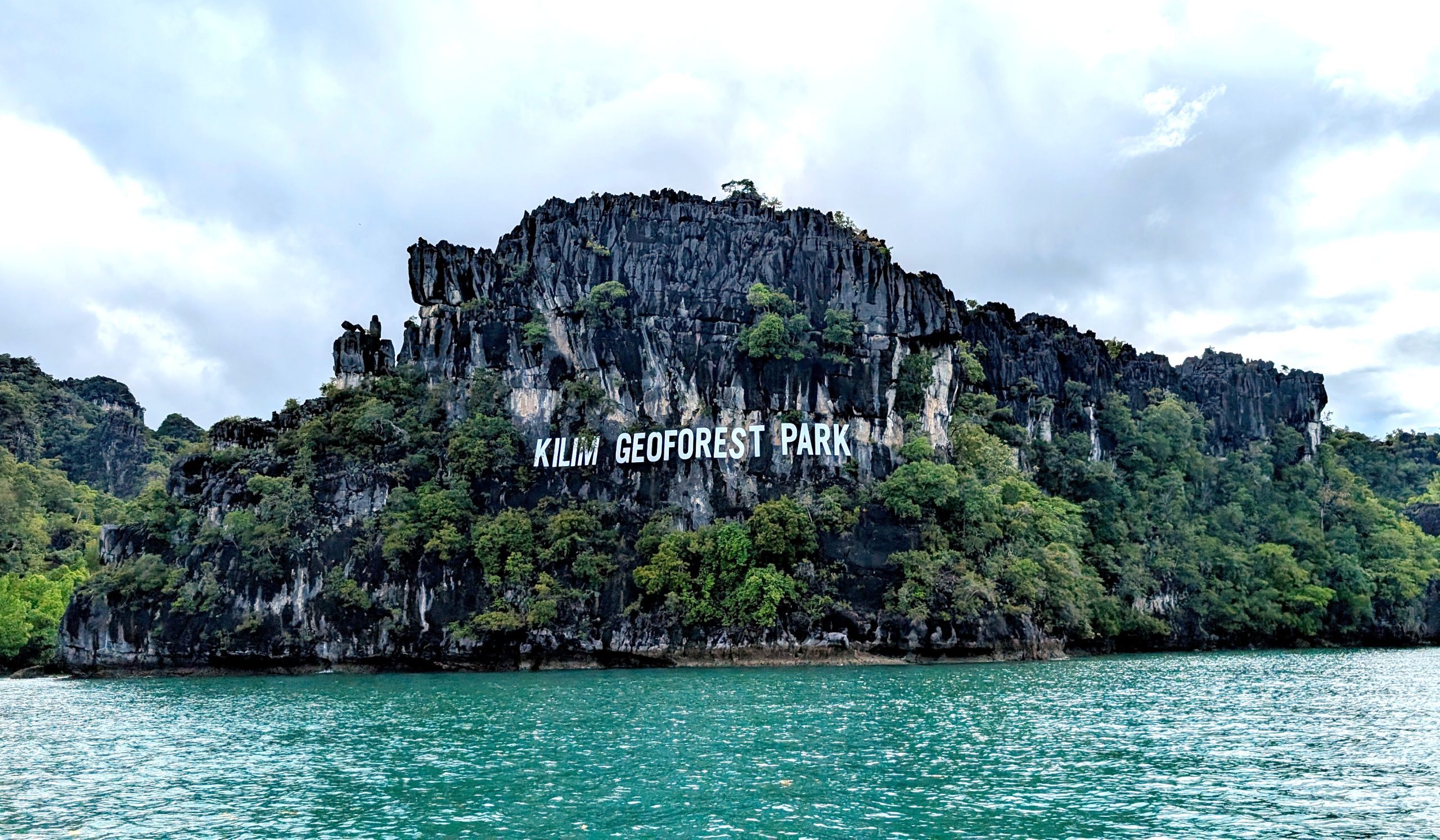
1. Kilim Karst Geoforest Park
This park is the best-known and largest; it is located in the northeast of Langkawi Island. It was named after the predominant rock formations in the area and the Kilim River that flows through it.
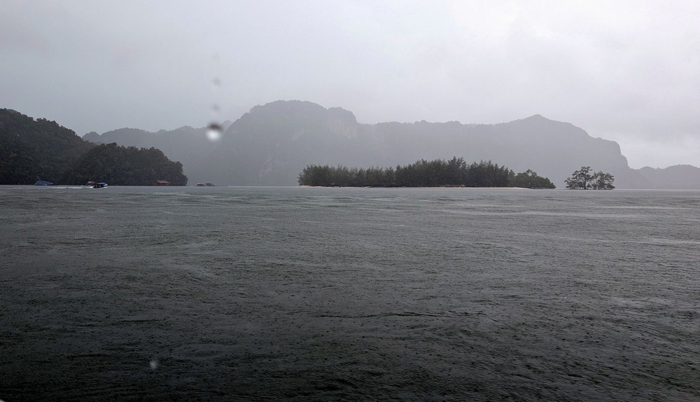
We were supposed to take a boat to the geopark, but it was raining. We had to wait nearly an hour for the rain to let up. The sky, however, remained gray.

Although the rainiest months were already behind us, they say the rain in Malaysia is very unpredictable. About halfway through the boat ride, a tropical downpour started again. Torrents of water lashed us from all sides; neither the boat’s canopy nor our raincoats could protect us. Water lashed my face and eyes; I had to close them. I was glad I’d left my camera at home – I wouldn’t have been able to protect it. I’d only brought my phone, which I could hide more easily under my clothes.
Even the slightest movement allowed the water to find its way under my raincoat. When the downpour ended, we all looked like drenched chickens. Suddenly, a flock of eagles appeared in the sky. It was no coincidence – the crew from the neighboring boat was throwing food to them.
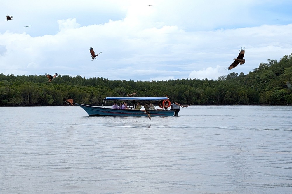
It is estimated that there are over 500 wild eagles living on Langkawi. These magnificent, reddish-brown birds circled majestically above us and dove sharply downward to snatch a piece of chicken skin. Larger white-bellied sea eagles watched this spectacle from the crowns of the mangrove trees.
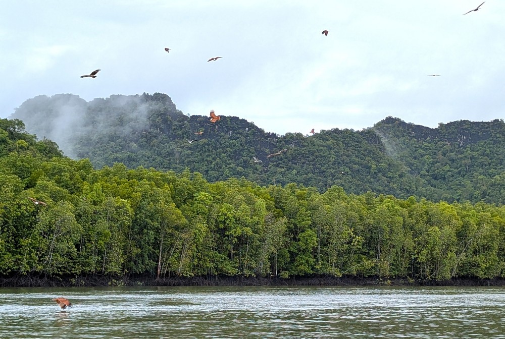
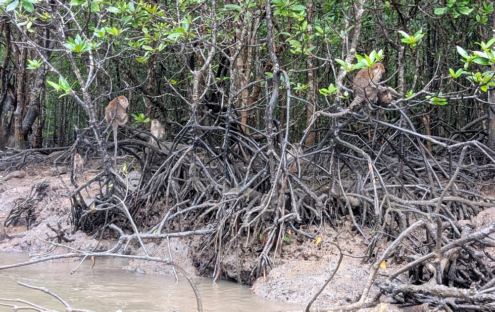
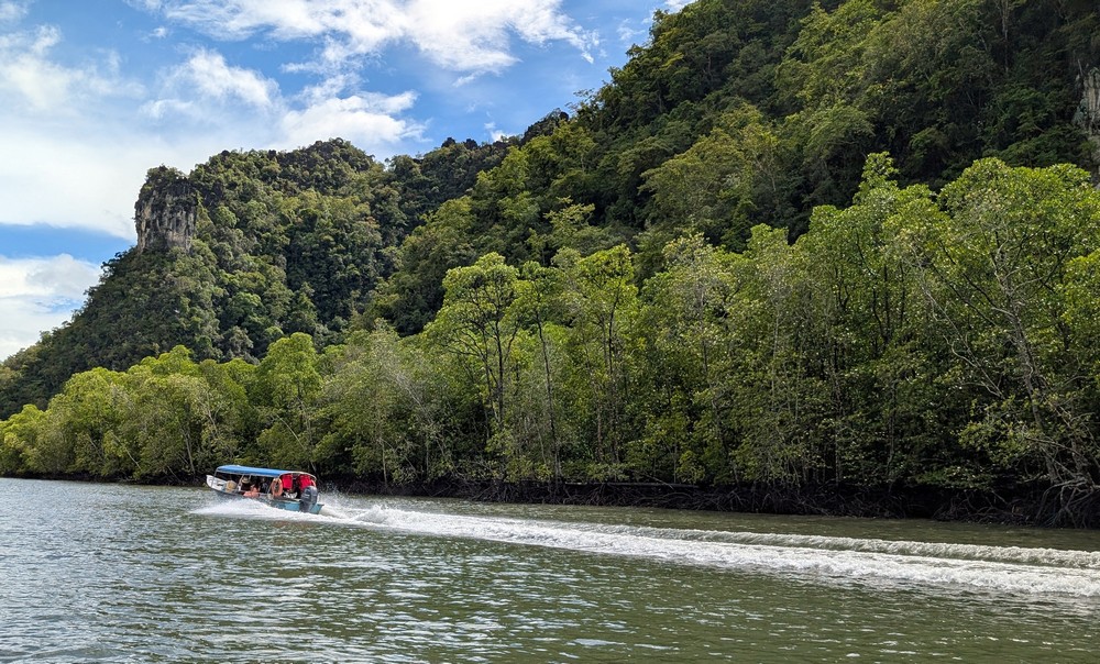
These are very peculiar trees. It’s as if someone had wanted to pull them out of the ground but then changed his mind and left a dense tangle of roots above the water’s surface. The trunk itself begins above this tangle, about a meter above the water. It’s fascinating that they need both fresh and salt water to survive, which is why these trees actually grow in places where rivers flow into the sea.
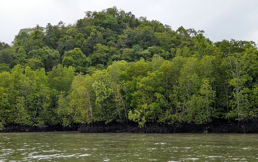
Mangroves are amphibious trees; throughout their lives, they move from land to sea. At low tide, the trees are exposed above the water’s surface; at high tide, they are often submerged up to their crowns.
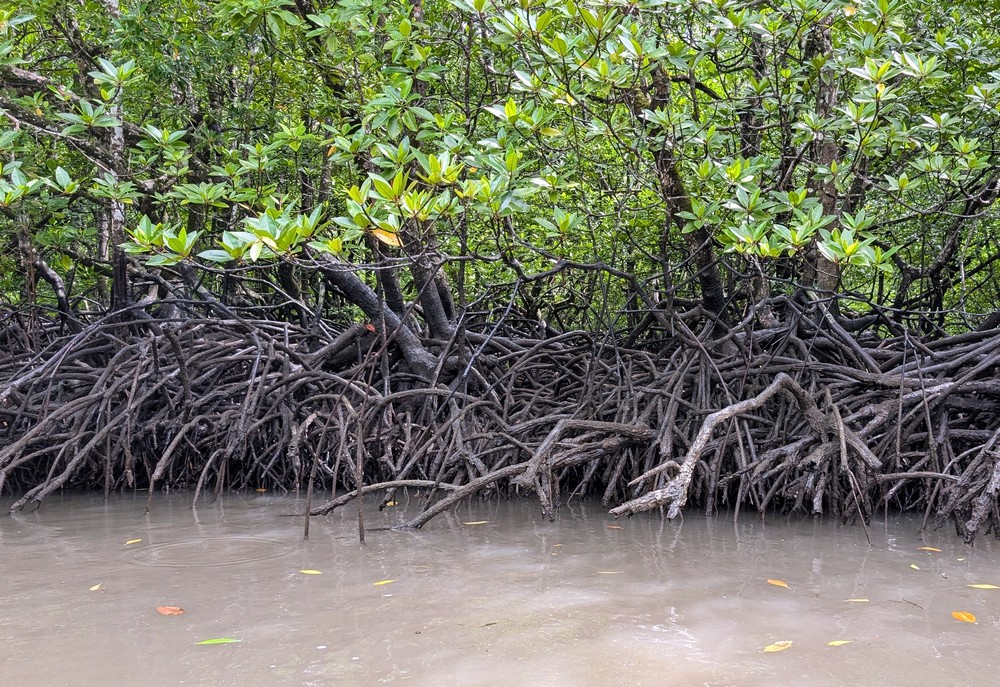
The tangle of roots creates an important ecosystem for many animals, which find refuge here as well as space to reproduce and grow. During our boat ride, monkeys sat in the treetops. The bolder ones hopped around near the water, weighing whether it was worth snatching something from us.
The scenery of this geopark is complemented by unique limestone formations carved by flowing water. We also sailed through a low, natural limestone tunnel – the Crocodile Cave (Gua Buaya)—but my imagination apparently wasn’t vivid enough to see any rock formation resembling a crocodile.
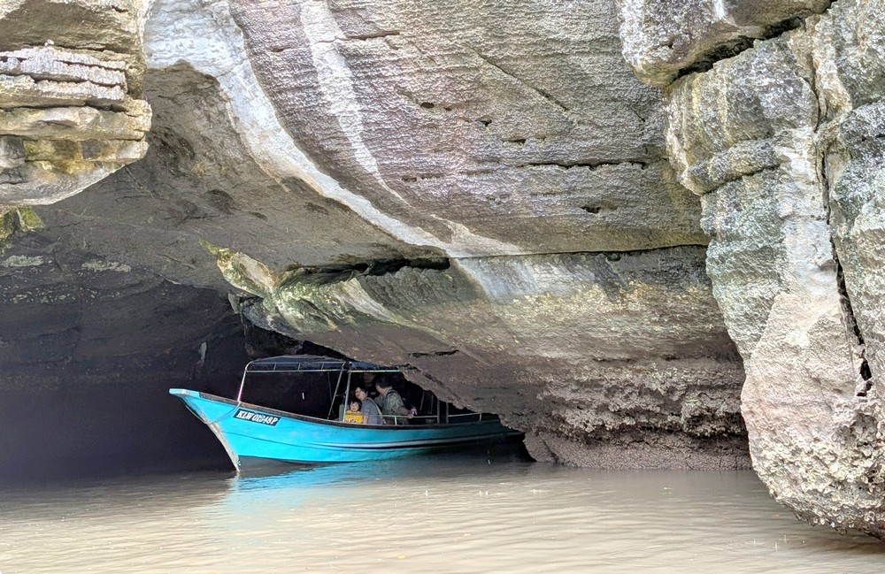
Then we arrived at Gua Kelawar – the Bat Cave. There is a small admission fee. At first, I wondered why they’d led us into this dark, somewhat spooky hole where you couldn’t see a thing. Then someone shone a flashlight on the ceiling 10 meters above, and suddenly we saw hundreds of little black creatures.

Malaysian fruit bats are the largest flying mammals. In Malaysia, they’re valued because they help pollinate fruit trees – mango and banana trees, but especially their favorite (stinky) durian. The wingspan of these fruit bats can reach up to 1.5 meters. You’ve probably guessed that I didn’t stay in that cave for very long…
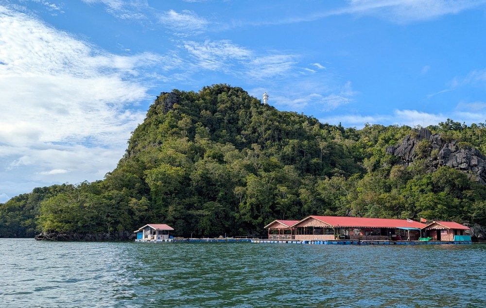
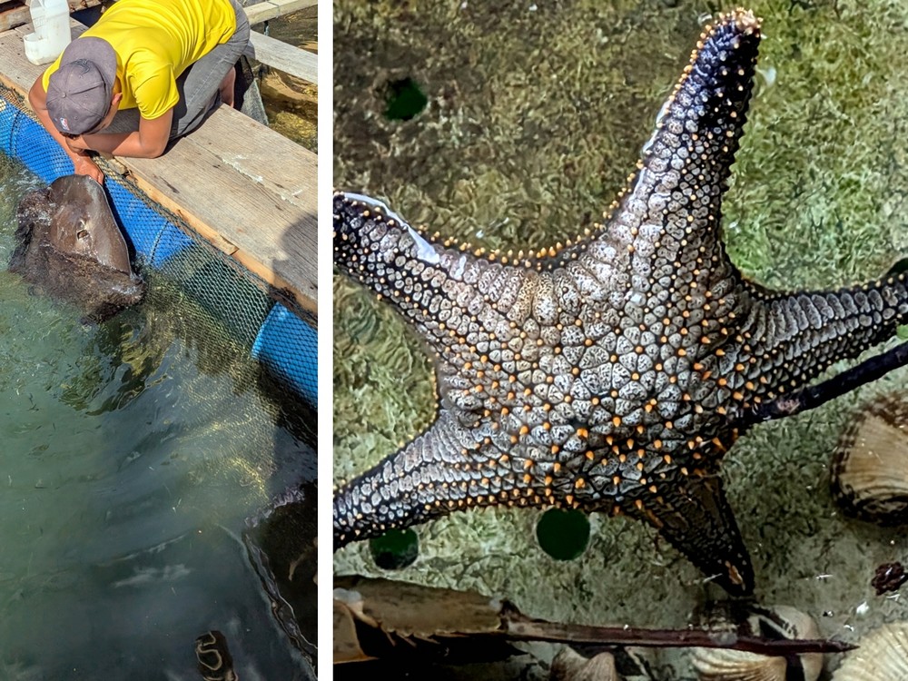
We had our lunch break at a floating restaurant on the Kilim River, built on a series of empty barrels. It’s also a fish farm; in the tanks we saw all kinds of fish, even a black starfish, and we got to feed the stingrays.
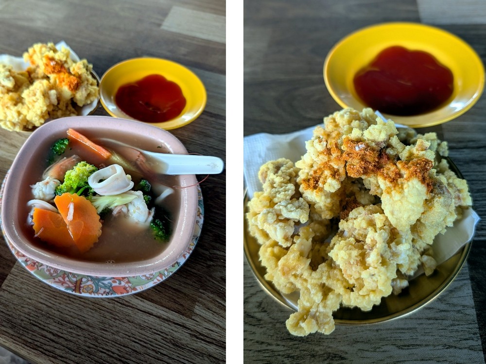
And what did I have for lunch? Since we were on an island and at a fish farm, I ordered seafood soup and battered fried fish.
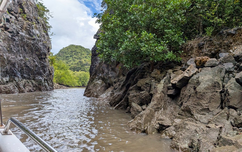
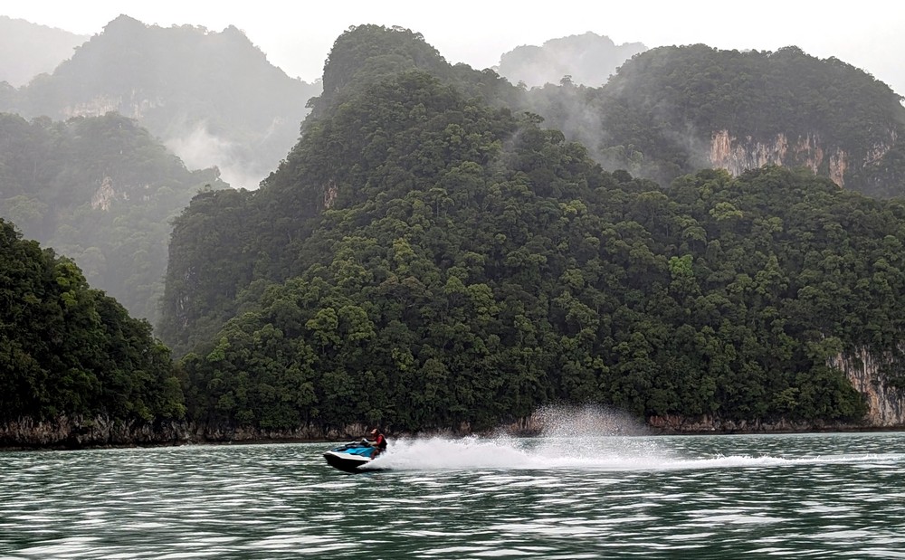
On the return trip, the weather was picture-perfect. I could hardly believe that just two hours earlier it had been pouring. We sailed past small and larger islands, dominated by the dark green color of lush vegetation. On some of them, bizarre rocks or cliffs were visible; some even have names (Gorila).
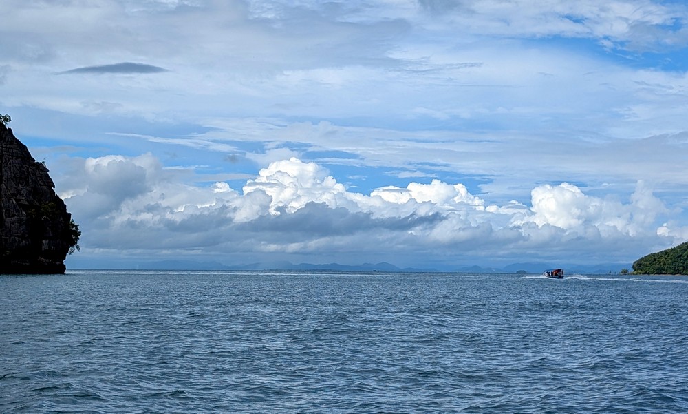
From the boat, we waved to Thailand, which wasn’t that far away on the horizon. Innocent white clouds floated across the blue sky, and the sea sparkled beautifully before us.
2. Dayang Bunting Marble Geopark
We also took a boat to the next geopark, but this time the weather was nicer. Once again, we passed smaller islands with remarkable rock formations and cliffs. And then we saw it – the contours of the hills on one island resembled a reclining woman with a strikingly large belly. This is the second-largest and uninhabited island – Dayang Bunting – the “Pregnant Maiden.”

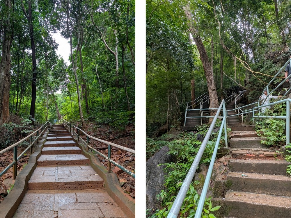
After about half an hour, the boat docked at a small harbor, and we walked along a path toward our destination – a large freshwater lake in the midst of the island’s lush vegetation. In the final part, you have to descend about 100 steps.
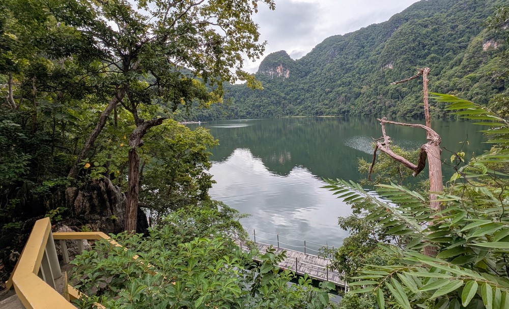
The lake was formed when a massive limestone cave collapsed as a result of erosion. Rainwater filled the valley, creating a lake 800 m long and 350 m wide. The green surface was calm and reflected the beautiful forested marble formations from the Permian period (the last geological period of the Palaeozoic era) in the surrounding area.
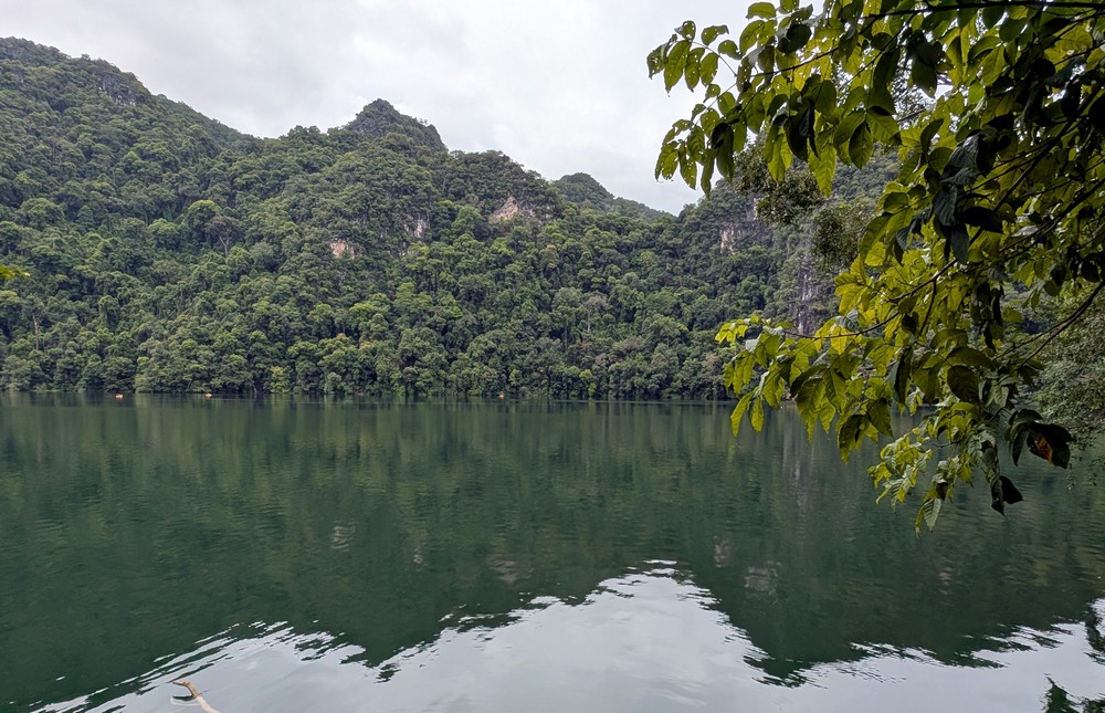
Like many other places in Malaysia, this lake is also shrouded in legends. The most famous one tells of the fairy Mambang Sari, who married an ordinary mortal named Mat Teja and bore him a boy. When the baby boy died of a mysterious illness on the seventh day after his birth, the heartbroken princess laid his little body in the lake and returned to her heavenly abode. At the same time, however, she blessed all barren women, promising they would conceive a child if they bathed in the lake or drank its water.
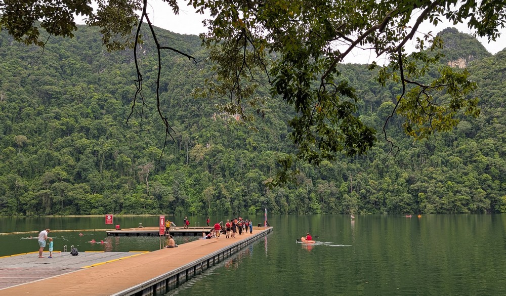
I don’t know if anyone drank from it, but several people were swimming, while others were just dipping their feet in the water or paddling in small boats and kayaks. Everyone was required to wear life jackets. The lake is up to 14 meters deep.
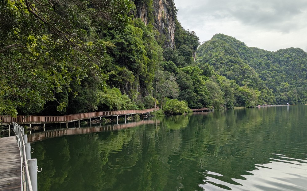
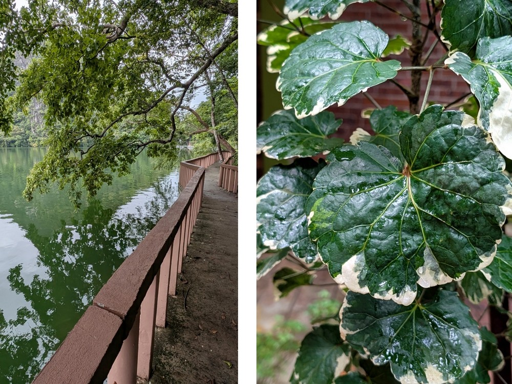
The lake is bordered by a wooden deck that led me to the iconic spot in this geopark, the so-called Miracle Border.
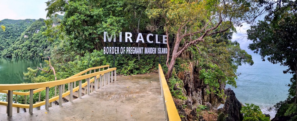
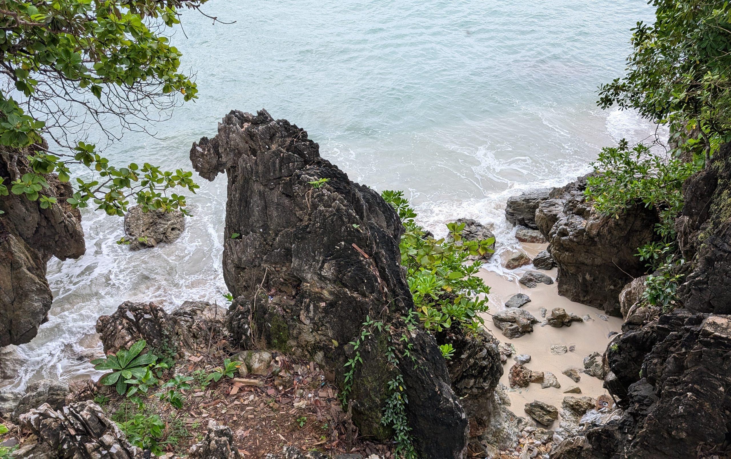
It is a place where a narrow ridge of limestone cliffs and a wooden walkway separate the deep, green lake from the bluish Andaman Sea. You stand less than 30 meters from the ocean…
…while looking in the opposite direction – at the calm surface of the freshwater lake.
There was an amazing sense of peace here. I returned to the pier with the life jackets. Several monkeys were running around, and one large one had settled on the railing next to the stairs. It commanded respect, and it took me quite a bit of courage to walk past it up the stairs.
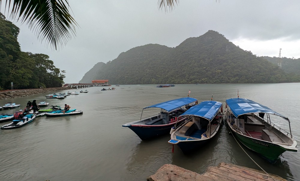
As soon as we boarded the boat, the sky clouded over, and it started to rain. The islands – or at least parts of them – were shrouded in fog…
3. Machinchang Cambrian Geopark
The Machinchang mountain range is located in the northwest of Langkawi Island; we drove there. It was clear at first glance that this geopark is the most commercialized.
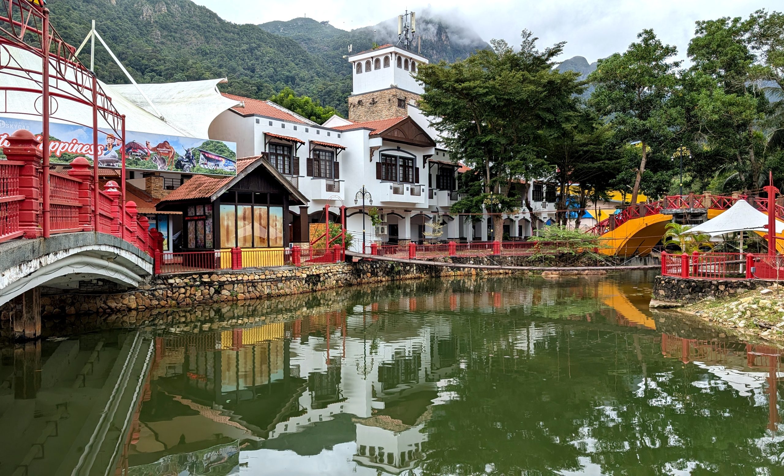
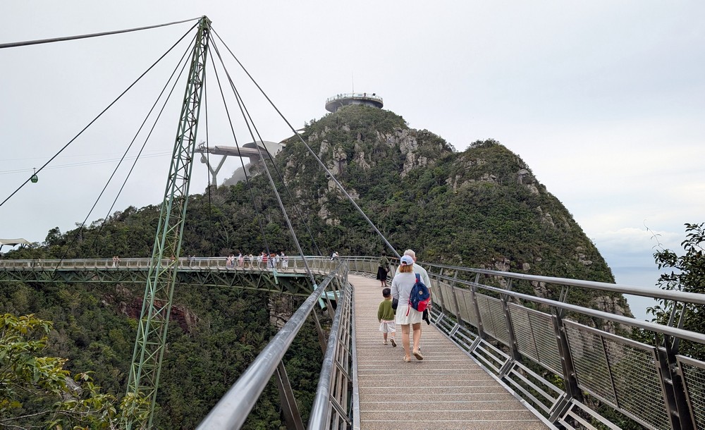
It’s also home to the island’s iconic attraction – the Langkawi Sky Bridge, the longest curved cable-stayed bridge in the world.
The best way to get to the top of the hill is by the SkyCab cable car. It’s the steepest cable car in the world (42°) with the longest free-fall section of 950 meters. The ride takes 15 minutes.
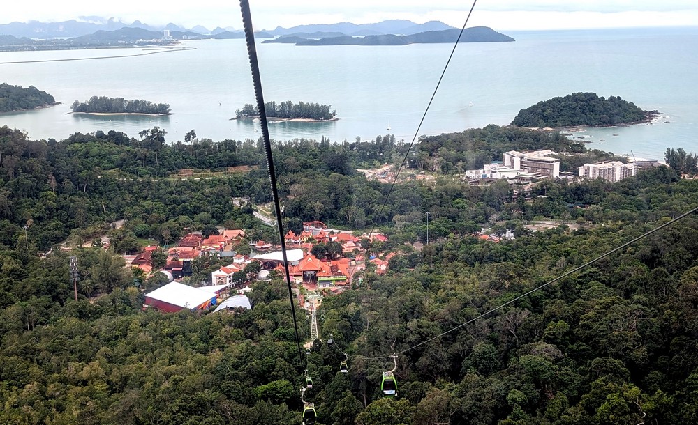
From the cable car, there is a view of the beautiful green landscape with Cambrian rock formations (the Cambrian is the first geological period of the Paleozoic era), shaped by erosion and weathering. This is how the bare peaks, sheer cliffs, ridges, narrow gorges, and waterfalls were formed.
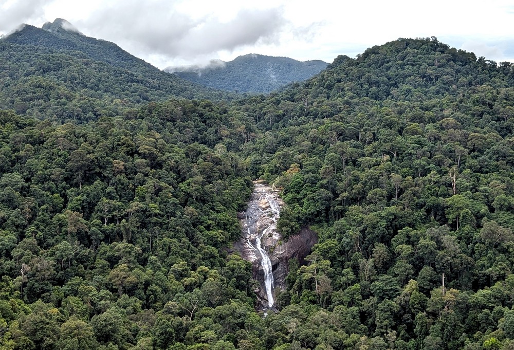
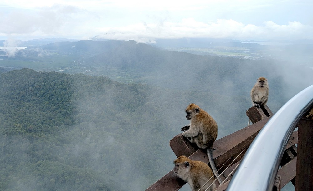
We rode up to the middle station. There were monkeys here, too, fearlessly hopping around or perching on the edge of the observation deck.
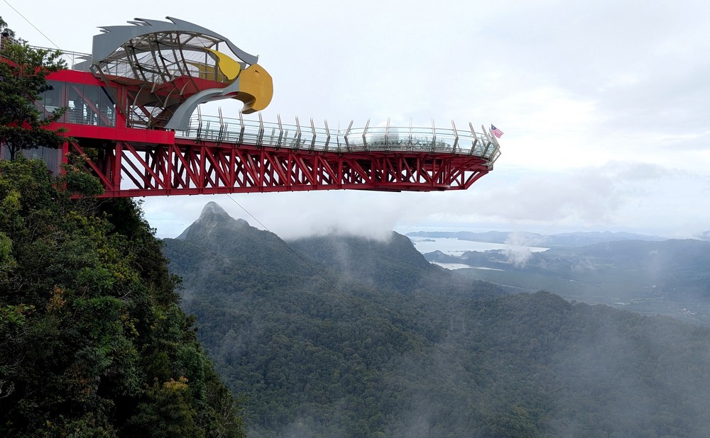
I would have gotten dizzy, so I preferred to look up – at the glass Skywalk shaped like an eagle.
The glass walkway, featuring a replica of an oversized eagle’s nest (two whole eggs and one broken one), juts out over the valley. Thanks to its length of 38 m, this impressive structure ranks among the longest skywalks in the world. They’ve thought of everything here – we had to leave our backpacks and hang our phones around our necks in transparent pouches, so there was no risk of them falling into the depths below us. We had to put plastic covers on our shoes so as not to damage the glass floor.
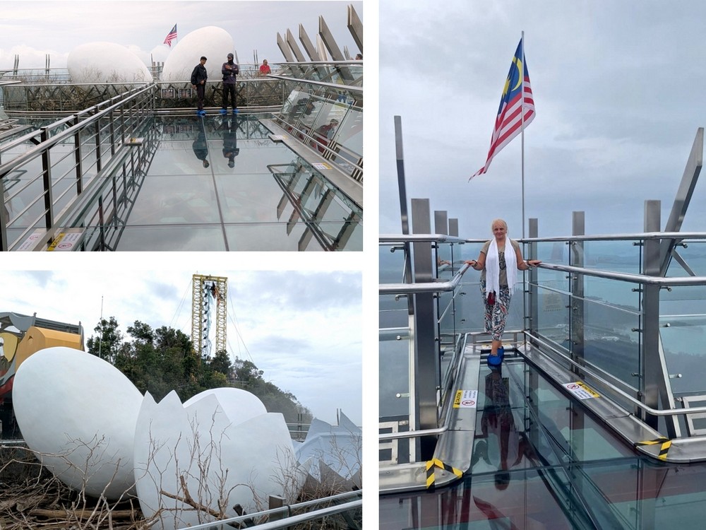
From here, we could see all the way to the capital, Kuah. We recognized it by the white Maha Tower. The green landscape sloped down to the island’s most beautiful beaches, and we could see other scattered islands stretching all the way to the southern part of Thailand.
You can reach the Sky Bridge on foot or by the elegant SkyGlide gondola. The ride takes only two minutes, but you’ll have to wait in line because the gondola’s capacity is just 12 people.
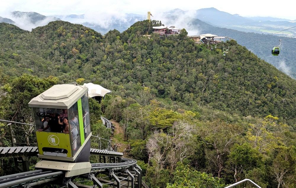
The Sky Bridge looks as if it were suspended between forested mountain peaks. Machinchang is considered the oldest mountain range in Southeast Asia. Cambrian rock formations, estimated to be half a billion years old, form the bedrock for one of the oldest rainforests on Earth.
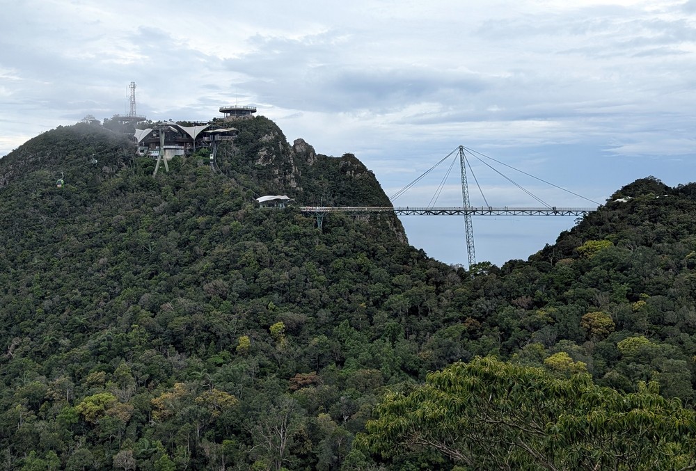
The bridge, 125 m long and 650 m above sea level, opened in 2005. It is made of steel and glass, and its pylon stands 27 meters tall.
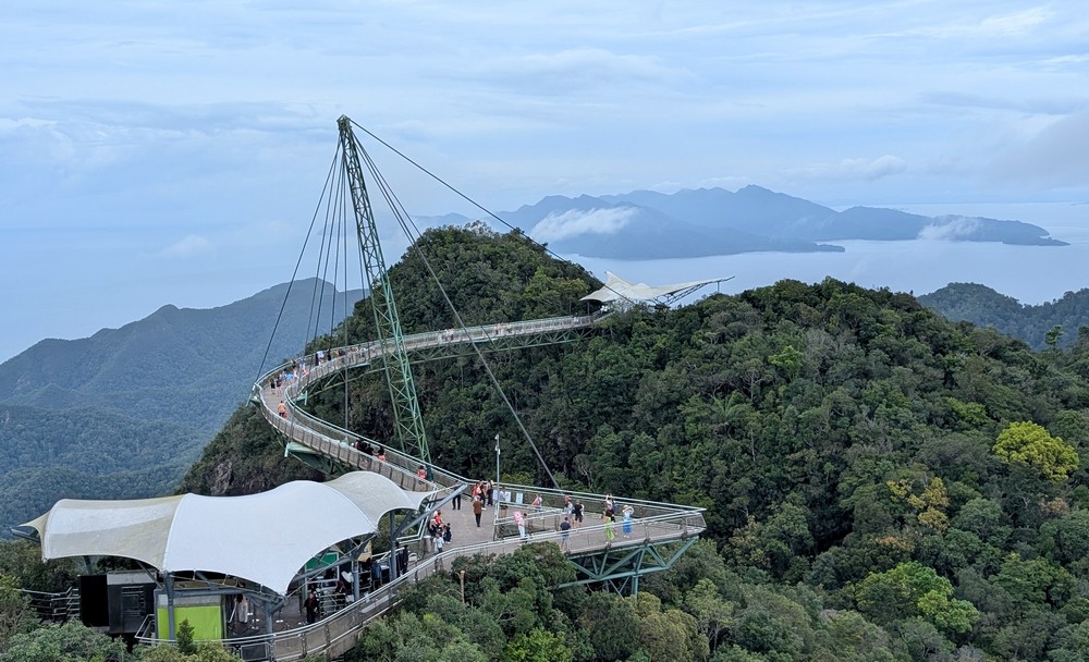
The best view of the bridge, which curves against a backdrop of dense greenery, is from the highest observation deck at an elevation of 708 meters above sea level. At first, we could see it quite clearly. Its observation deck has a roof that’s probably shaped like outstretched eagle wings, but to me it resembled a giant butterfly about to take flight.
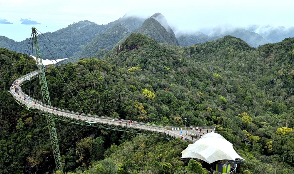
Then the fog rolled in, and the butterfly began to fade away…
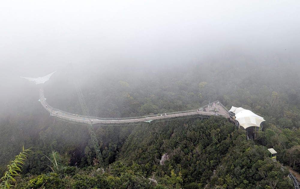
…until finally, its wings could only be sensed.

Now and then, a real eagle flew through the thick fog.
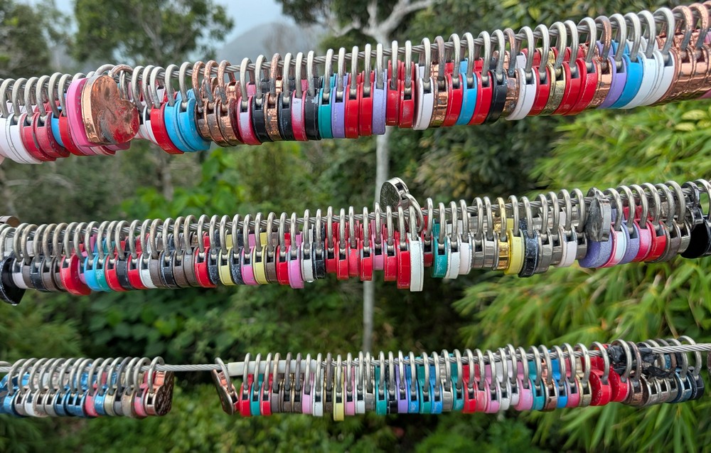
Love locks hung from steel cables. To fit as many as possible, they were hung vertically, so the inscriptions couldn’t be read. Despite this, there was a man sitting there who painted initials and messages on the locks upon request.
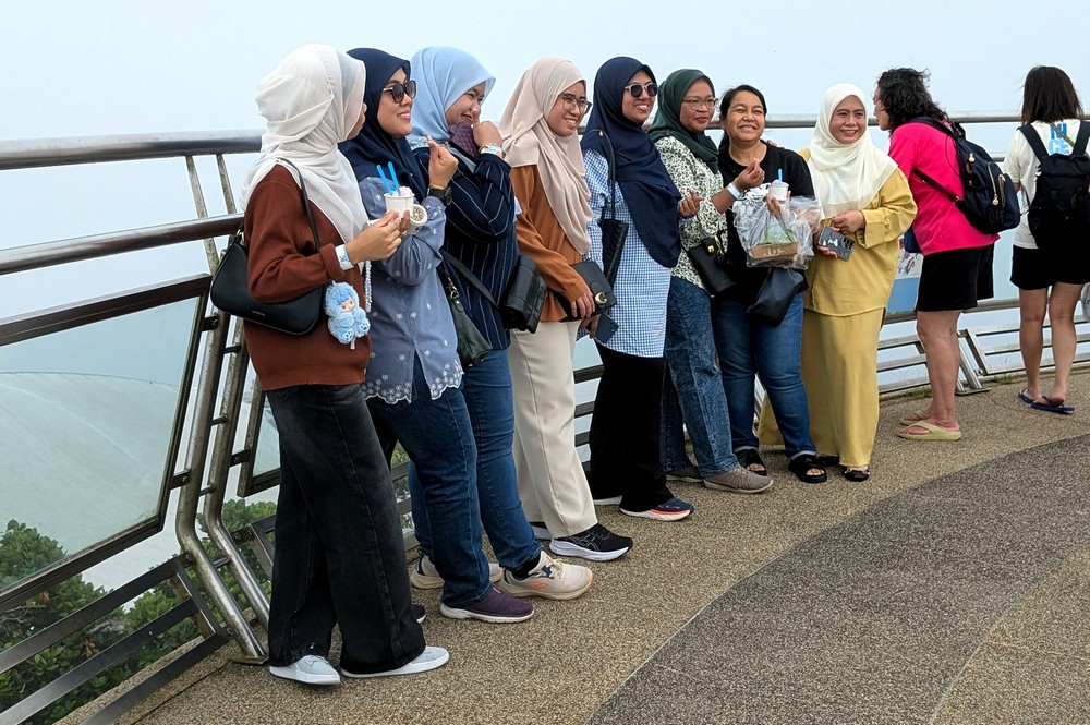
We took the cable car back down to the lower station. It’s a small village with souvenir shops. You can also visit:
– Skydome, with a 5-7 minute show for kids
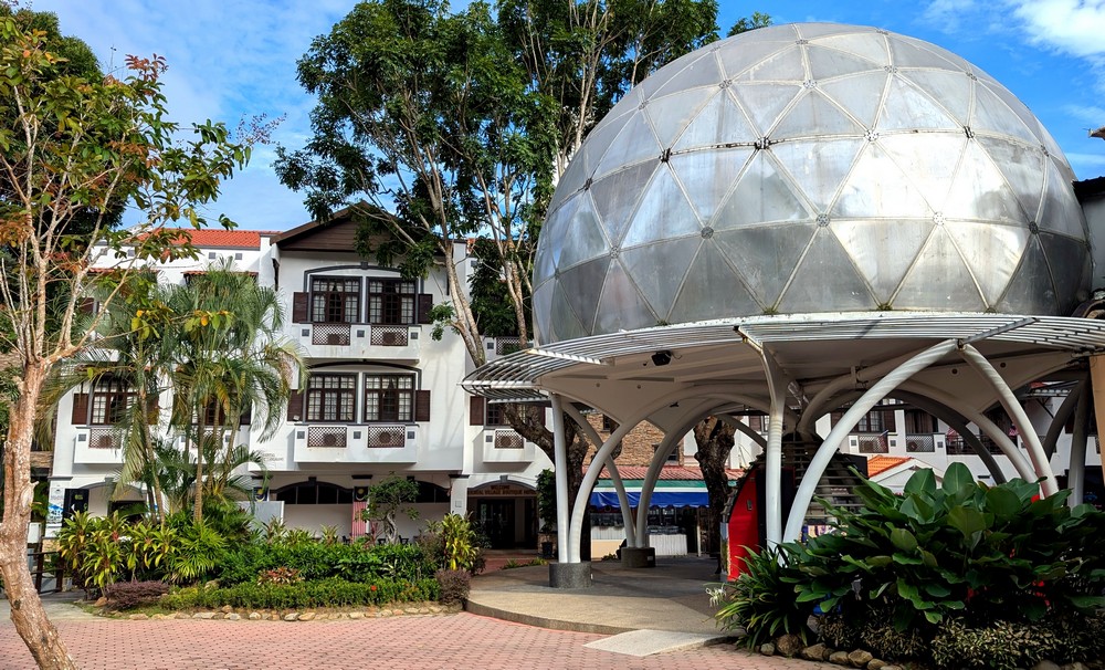
– Petland – a small zoo (for families with children)
– the largest 3D art museum in Malaysia. We chose this third attraction and weren’t disappointed.

You enter the museum barefoot. Each room is hand-painted with a different theme (the underwater world, the African savanna, the Japanese countryside, Egyptian temples, a gondola in Venice…) and each one calls for a photo to fully appreciate the illusion.

It was a wonderful way to cap off our day-long trip.
Check out these other articles about: LANGKAWI
More information about this geopark: Langkawi Panorama
More information about Langkawi: Langkawi Development Authority
Text: © Copyright Ingrid, Travelpotpourri
Fotos: © Copyright Ingrid, Travelpotpourri